Can You Name These 10 Binghamton Area Buildings From The Sky? [GALLERY]
Whenever you fly, are you like me, wanting to be in the window seat looking down at the earth as you pass overhead on your destination who knows where? Okay, some people have no interest at all, but I love checking out the landscape from high above.
Therefore, my in-the-sky adventures usually come in the form of Google Maps, along with the Street View feature to see what a community looks like without ever having to leave the comforts of home. Don't get me wrong, I'd rather travel and see these views for real, but the maps are the second-best thing.
And there's so much to discover right in our own community. Every time I take a look at the greater Binghamton area from an aerial map program, I find something I hadn't noticed before. There are many streets in the Triple Cities area I've never traveled on, but I can see them on those aerial maps without having to take out a loan to fill up my gas tank and drive around the area.
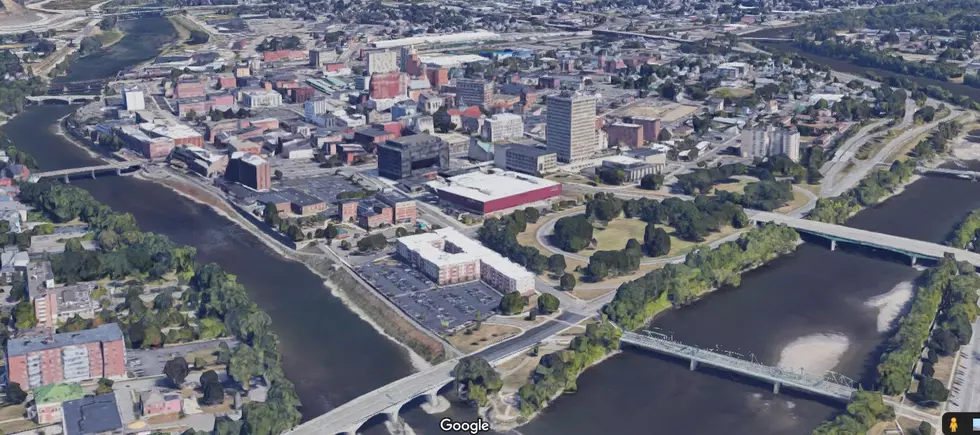
Recently, when I was looking around local maps, I thought it would be cool to play a guessing game to see how many local buildings and places you can pick out from above. I tried my best to zoom in close so it's not too easy, making it a straight-down look onto the building or place. I follow up each image with what it is.
See how many you can identify before moving on to the reveal pictures, and have fun!
Identify These Triple Cities Buildings & Places
GALLERY: Can You Name These 10 Southern Tier Locations From The Sky? (Answers At The End)
NY & PA Towns With Interesting Names
TAKE A DEEP BREATH...: The 8 Worst Intersections in the Southern Tier
More From 98.1 The Hawk


