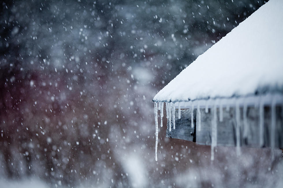
Winter Returns to Central New York with Snow Expected This Weekend
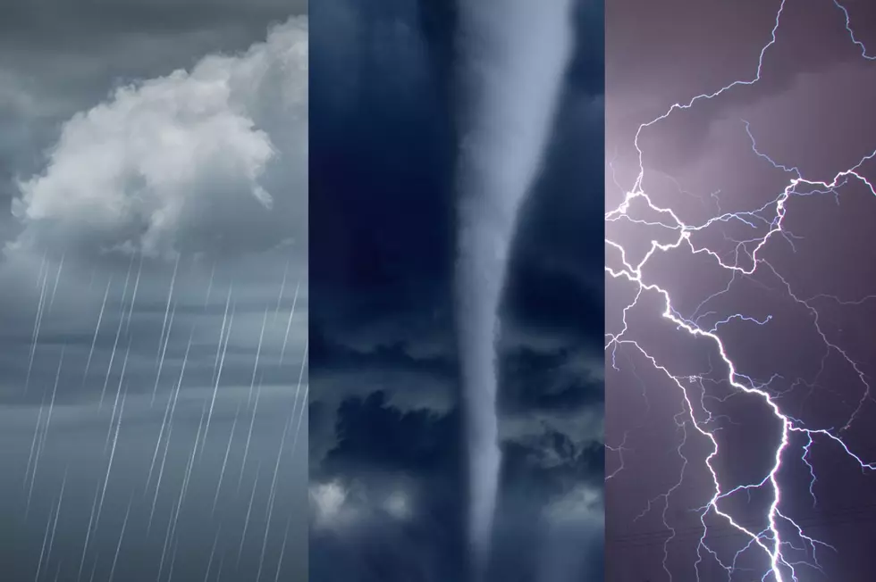
The National Weather Service has issued a Hazardous Weather Outlook for Central New York as a storm system moves into the region.
While most of Central New York experienced unseasonably warm temperatures just last week, winter is back with bitterly cold temps Friday morning and Saturday, and snow returning to the region this weekend.
Forecasters from the National Weather Service say lake effect snow will impact our area.

According to the National Weather Service:
- A widespread moderate snowfall is expected area-wide Saturday and Saturday night.
- The snow may mix with and change to freezing rain/freezing drizzle Saturday evening, mainly over the Finger Lakes.
- There still is uncertainty as to how much snow falls and where the heaviest snow occurs.
- Travel could become difficult across our area.


Enter your number to get our free mobile app
Friday: A slight chance of snow showers before 8am. Sunny, with a high near 15. Wind chill values as low as -15. Northwest wind 11 to 14 mph. Chance of precipitation is 20%.
Friday Night: Increasing clouds, with a low around 0. Wind chill values as low as -7. Northwest wind 5 to 7 mph becoming calm in the evening.
Saturday: Snow, mainly after 11am. The snow could be heavy at times. High near 27. Wind chill values as low as -1. Light southeast wind increasing to 10 to 15 mph in the morning. Chance of precipitation is 100%. New snow accumulation of around 3 inches.
Saturday Night: Snow before 10pm, then snow showers likely after 10pm. Low around 26. South wind 9 to 14 mph becoming west after midnight. Chance of precipitation is 90%.
Sunday: Snow showers. Areas of blowing snow before 1pm. High near 30. Chance of precipitation is 80%.
Sunday Night: Snow showers likely, mainly before 1am. Cloudy, with a low around 14. Chance of precipitation is 70%.
More From 98.1 The Hawk