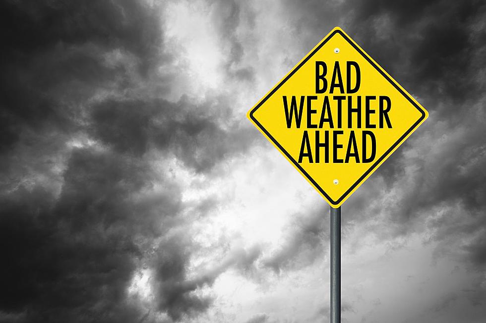
Twin Tiers Under Winter Weather Advisory
The National Weather Service has issued a Winter Weather Advisory for the entire region from 7 a.m. until 7 p.m. March 9 with even more snow lurking in the wings for the weekend.
Forecasters say the region could expect two to four inches of snow over a 12-hour period March 9 with the highest accumulations saved for the highest elevations above 1200 feet.
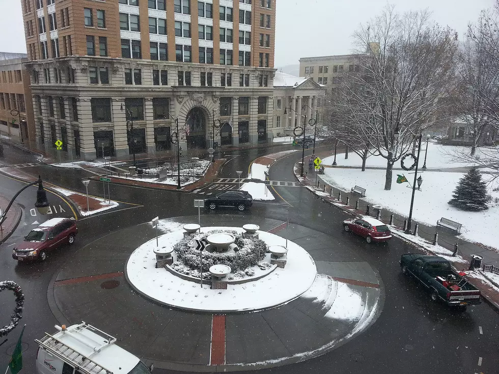
Authorities say the quick accumulation of a few inches of wet snow will result in some slippery road conditions even for the morning hours.
The National Weather Service in Binghamton says elevations over 1200 feet will likely see three to four inches while the valley areas left with accumulating snow measuring an inch or two.
Forecasters are expecting the steadiest snow to fall between noon and 5 p.m. March 9.

NOAA Meteorologist Bryan Greenblatt hinted at more snow for the weekend when he spoke to News Radio 1290 WNBF early on March 8. The forecast is calling for rain showers moving in overnight on March 11 then a mix of rain and snow in the morning Saturday, changing to all snow. No projected snowfall accumulations are being given at this time. The extended forecast calls for the snow to possibly continue Saturday night before clearing out by morning Sunday, March 13.
Residents should remember most winter parking rules, including alternate side of the street parking in Binghamton and Johnson City, are still in effect.
Binghamton's parking restrictions are due to expire March 15 but Johnson City's posted Alternate Side Street Parking is "December 1 to March 31 of each year. "
KEEP READING: See 25 natural ways to boost your immune system
Look Inside As This Whitney Point School Bus Is Transformed Into a “Skoolie”
More From 98.1 The Hawk