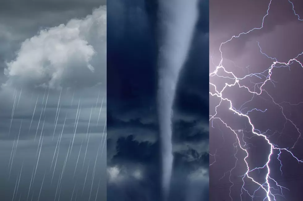
Rain and Snow Replace Warm Temps. in Twin Tiers
Twin Tiers weather spotters are being advised their services may be needed over the next day or so as rain moves into the area, returning a threat of localized ice jams or flooding.
The National Weather Service in Binghamton says the precipitation combined with continued melting of snow and ice has a potential for causing some water issues.
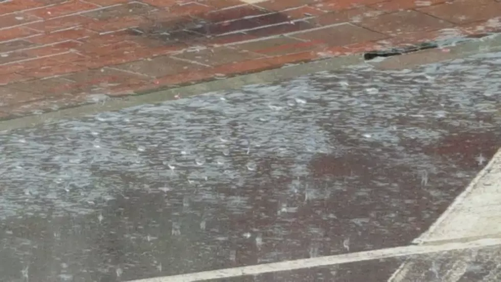
The forecast early February 22 was calling for rain to move into the area by afternoon with daytime rainfall of between a tenth and a quarter of an inch. The rain was forecast to continue through Tuesday night with another tenth to a quarter of an inch of precipitation. Many riverbanks around the region, meanwhile, are littered with chunks of ice piled several feet high.

Meanwhile, forecasters are also keeping an eye on another system that could bring heavy snow or a wintery mix at the end of the week.
The forecast issued on February 22 did not discuss snowfall accumulations but did call for a slight chance of snow for the afternoon February 24 with a 90 to 100 percent chance of snow overnight and Friday, February 25.
Temperatures are also expected to return to winter levels with a low Saturday forecast to be in the teens.
CHEERS! The Best Snapshots From Binghamton On Tap 2022
Celebrity Doppelgängers
Every 'Saturday Night Live' Movie Ranked From Worst to Best
More From 98.1 The Hawk