National Weather Service Says the Chances are Improving for Weekend Snow
The National Weather Service in Binghamton is looking ahead to the end of the week and into the weekend as a winter storm is threatening some parts of the country.
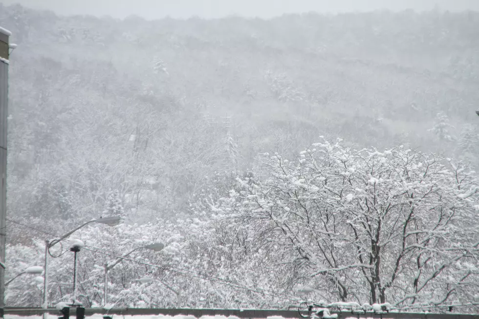
As of early January 16, NOAA says the chance for a high impact winter storm this weekend in the region is increasing. Officials say a quick 1 to 3 inches of snow is expected Thursday night, January 17 into early Friday, January 18, with highest amounts towards the Poconos and Catskills. This may impact the Friday morning commute with slick roads.
The National Weather Service says there is "increasing confidence for a high impact winter storm" to hit the region this weekend. This will likely begin as snow developing Saturday afternoon, then snow possibly heavy at times Saturday night into Sunday.
Frigid Arctic air and gusty winds will also move in behind the system Sunday afternoon through Monday, with potentially very cold temperatures and dangerously low wind chills as well as areas of blowing snow.
Residents are encouraged to continue to monitor the forecast as details become clearer in coming days, including possible Winter Storm Watches.
With the suggestion that several inches of snow could impact the area, local governments have been assessing their snow removal readiness. Some officials have commented that the timing of the storm couldn't be better since it is expected to hit on a weekend and Monday is a Federal holiday with many schools and some businesses already planning to be closed.
More From 98.1 The Hawk