Latest Binghamton Area Weather Update
Everyone is hearing something different about the expected storm coming to the Southern Tier. As of 5:11pm Monday afternoon, here is what we know from WBNG-TV Storm Tracker weather:
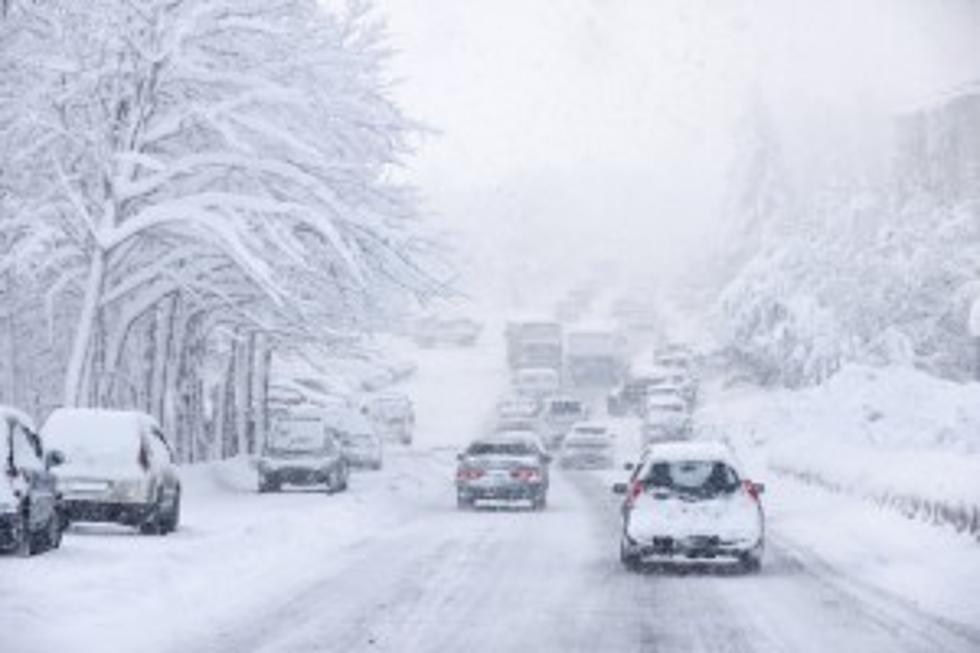
The weather will turn more active overnight, but there are no weather concerns this evening. I expect a period of sleet or freezing rain to develop south and southeast and move to the north after about 3am. The freezing rain could hang on in spots through tomorrow morning’s commute, but should change to rain or a mix of rain and snow by 9 or 10am. Please be careful when driving over bridges and overpasses. These surfaces can become sheets of ice. By early to mid afternoon any mix will change to all snow and it could be heavy at times after 3 or 4pm. At its heaviest, the snow could fall at a rate of 1-2” per hour. However, there could be a few isolated pockets of 2-3” per hour later in the day. Highs will be in the mid to upper 30s. Heavy snow will continue into Tuesday night, but the intensity will back off after about 11pm or so. Lows will be in the upper 20s to low 30s. This will likely be a heavy snow and there may be some isolated power outages where the highest accumulations develop.
A few things to note with this storm are that elevation could have huge impacts on snowfall totals. Valleys should see lower totals compared to hill tops. If the wintry mix does not last long and changes to snow faster the totals could go up. If the wintry mix lasts longer, totals will go down. There may be as much as a glazing to as much as 0.20” of ice in the longest lasting freezing rain. This will make things incredibly slippery and safe travel will be very difficult if not impossible.
The storm will continue Wednesday with light to perhaps even moderate bursts of snow likely. It will be breezy with highs around 32. The snow showers will continue Thursday with a 60% chance of precipitation. The reason this storm is moving so slow is due to an area of high pressure over eastern Canada. This high is blocking it from moving northeast. Additional snow showers are possible Saturday with highs around 32.
Keep an eye on the updated weather maps at 981thehawk.com
Much quieter weather is expected this weekend with clouds and sun both days. Highs will be in the mid to upper 30s.
More From 98.1 The Hawk