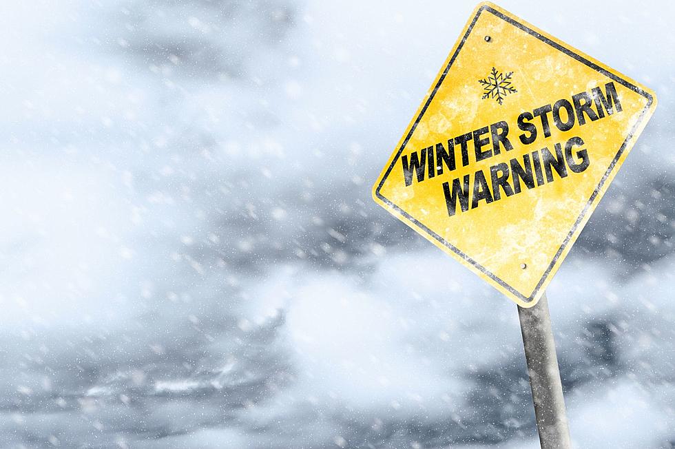
Another 6+ Inches of Snow Forecast for Latest Winter Storm Eyeing the Twin Tiers
Another round of winter weather is getting ready to hit the Twin Tiers.

National reports about the latest storm have been touting blizzard-like conditions and bitterly cold wind chills for the middle part of the country and the Southern Tier is looking at the possibility of a half foot or more of snow in the middle of the week.
The National Weather Service has issued a Winter Storm Watch for 7 a.m. January 29 through 7 a.m. January 30. The Watch area includes, in New York: Broome, Cortland, Chenango, Tioga and Tompkins Counties and Bradford, Susquehanna and Wayne Counties in Pennsylvania.
Heavy snow is possible with total snow accumulations of 6 to 9 inches. Winds could gust as high as 35 miles per hour.
Forecasters are saying a "Polar Vortex" is sucking frigid air down from the arctic circle, bringing with it the chance for wind chills again well below zero.
The National Weather Service says snow is expected to develop Tuesday morning and continue through Tuesday night. Snow may be moderate to heavy at times.
The snow and blowing conditions could impact the commutes Tuesday morning through Wednesday morning.
A Winter Storm Watch means there is potential for significant snow, sleet or ice accumulations that may impact travel. Continue to monitor the latest forecasts.
More From 98.1 The Hawk