Spring Weather Prediction for Greater Binghamton Area
It sounds like we will all get a preview of spring this week as the forecast calls for a big weather warm up for the first part of the week with temperatures reaching the lower 60's by Wednesday. That's a 15 degree warm up for the Southern Tier!
But what does spring hold for the Binghamton area? It depends on who you ask.
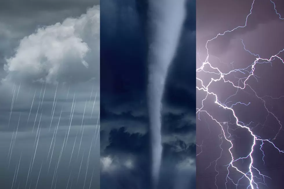
I reached out to NOAA and the National Weather Service to see what they had to say and it looks like you will need your umbrella through most of spring, especially early spring.
Ben Schott, Meteorologist in Charge at the National Weather Service in Johnson City, gave me a three-month outlook, one for precipitation and the other for temperature. Some signs for above normal temps to continue through the rest of meteorological spring (Mar-May) though little sign to know how the spring will play out with respect to precipitation. The early prediction looks like a slightly stormier spring with possibly more thunderstorms and rainfall.
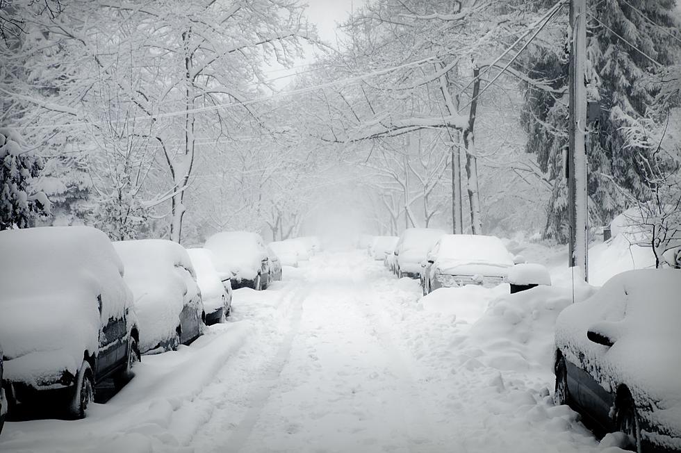
The Old Farmer's Almanac's forecast is forecasting a mix of wet snow, rain and cold temperatures (2 degrees below average) for late March with temperatures averaging 49 degrees for April with wet conditions through most of the month.
[via The Old Farmer's Almanac, NOAA
More From 98.1 The Hawk