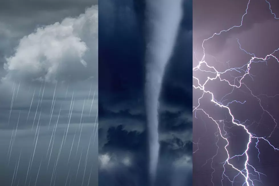
‘Hurricane Sandy’ Information
With the High Wind Warning and Flood Watch in effect for our listening area, please be advised that there is a web site set up at www.nyalert.gov It may be a good idea to sign up for free road closure, weather and emergency alerts through this web site.
Tonight: Very windy, heavy rain. Gusts to 50-60mph, isolated 70mph E/SE? Low: 50
Tuesday: Windy with rain likely. Winds slowly subside through the day. High: 52
Tuesday Night: Scattered showers. Winds continue to subside. Low: 42
Wednesday: 70% chance of showers. High: 46, Low: 42
Thursday: 60% chance of showers. High: 48, Low: 41
Friday: 40% chance of showers. High 45, Low: 35
Saturday: Partly sunny and chilly. High: 42, Low: 31
Sunday: Clouds & sun. High: 46, Low: 32
Monday: Partly cloudy. High: 48, Low: 37
Sandy continues make her way into the Twin Tiers. The biggest impact with Sandy at this point here in the Tiers will be widespread power outages and the potential for isolated flash flooding.
Flooding: At this point, MAJOR river flooding is NOT expected. This event bears no resemblance to either Irene or Lee. Minor river flooding is currently not forecast along the majority of the river forecast points, but we still need to monitor. Minor flooding does not cause significant structural or property damage.
Rain: The heaviest rain looks to stay in southern and central PA. We could still end up with 1-3” of rain across the board and this is not expected to cause significant widespread problems. The higher totals are expected south of Binghamton. There could be slightly lower amounts through Chenango and Otsego counties as a deep SE wind tends to create a rain-shadow in these areas. The greatest risk for flash flooding appears to be in the Catskills and Poconos, especially on S/SE facing slopes. The deep southeast flow blows into the hills and can enhance rainfall totals in these areas.
Winds: The strongest wind gusts will begin after around 8pm and last through about midday tomorrow. After that there will be a SLOW decrease in gusts. The valleys should see lower gusts, but could still approach 50mph at times. The higher elevations across the region, NOT including the Catskills and Poconos could see gusts in the 50-60mph range. Highest gusts are expected in the Catskills and Poconos and could reach isolated 70mph readings.
Extended forecast: The wind will slowly decrease tomorrow but rain is likely. Highs will be around 52. Overnight tomorrow it will remain breezy with scattered showers still hanging around. Lows will drop to around 42. Wednesday will again feature scattered showers with highs around 46.
Thursday through Friday will remain unsettled with a chance of showers. Later Friday some colder air may finally wrap around this storm and possibly could mix some flakes in for the higher elevations. Highs will be in the mid 40s.
The weekend looks decent at this time with partly sunny skies Saturday and partly cloudy skies Sunday. Highs both days will be in the 40s.
More From 98.1 The Hawk