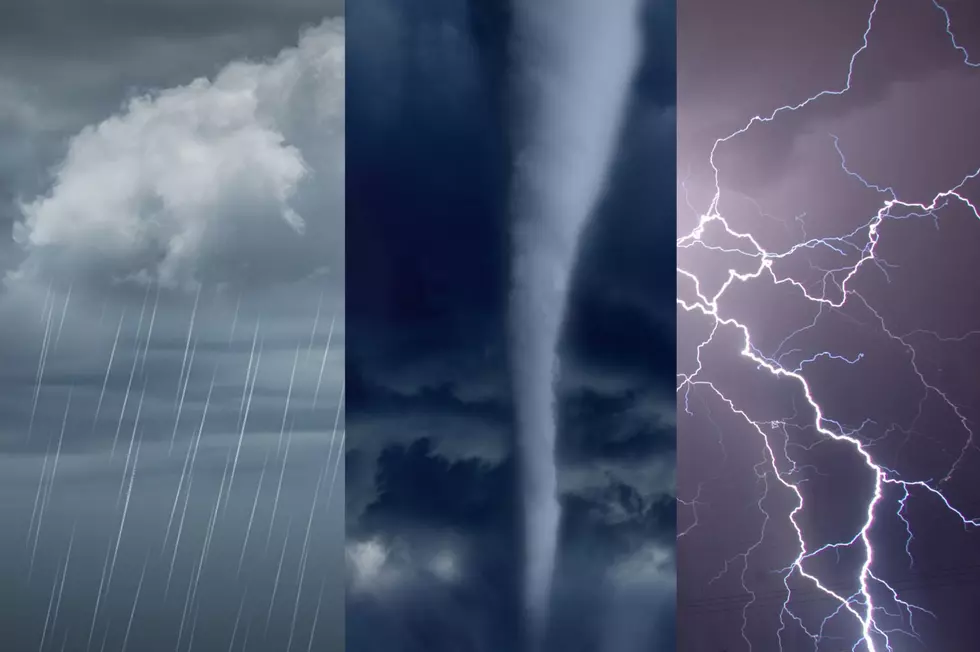
Growing Season May End Saturday with Frost
It looks as though the end of the growing season will be blowing through the Greater Binghamton area sooner than later, in fact this week.
If clearing can develop tonight, patchy frost is possible. According to Howard Manges, Chief Meteorologist at WBNG-TV, widespread frost is not currently expected. Thursday looks quiet, but a cold front will move through Friday night into Saturday. This will bring the coldest air of the season and also possibly bring an end to the growing season for many areas by Saturday morning or overnight Saturday.
Saturday night lows should be in the 20s. Both weekend days will be cold with a chance of lake effect rain showers and perhaps higher snow showers, especially in the higher elevations Saturday. There is some uncertainty with respect to exact wind direction, however. The wind direction is key to the development of lake effect. Next week Monday through Wednesday looks quiet with moderating temperatures and more sunshine than clouds.
More From 98.1 The Hawk