Binghamton Area Forecast Is White and Arctic
The Farmer's Almanac was right when they predicted an unsettled Winter for the Southern Tier. While some of us would like to let it go, it looks like "frozen" will be the word for later in the week.
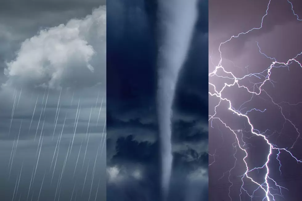
After a somewhat mild Sunday, later in the day could bring a mix of sleet and freezing rain with some treacherous travel conditions. According to WBNG Storm Tracker Weather, "the exact mixed precipitation to take place for areas such as Binghamton, Owego, Elmira, Ithaca, Montrose and Towanda. These locations will likely receive up to a tenth of an inch of ice. Areas to the north such as Cortland, Norwich, Walton, Oneonta and Delhi will likely remain mostly snow throughout the duration of this event. Higher snowfall will accumulate. If the rain/ snow line sneak north or south, our snowfall totals will have to be adjusted."
As colder weather returns tonight, also expect snow to return, with several inches of snow accumulating before it tapers off Tuesday morning.
AccuWeather.com predicts by Thursday, "A blast of arctic air will deliver the coldest weather so far this winter to the Northeast with widespread highs in the teens and single digits," with dangerous wind chills.
For the latest weather maps, visit 981TheHawk.com.
More From 98.1 The Hawk